The mountains Bardellone and Fusarino, along with the nearby hills, separate the vast bay of Levanto from Val di Vara. For centuries they represented the crossing point from the sea to the inland upon crossing with via Ligurum, a road that runs along the ridge used by the ancient native population. The importance of this territory as central point of the traffic in ancient times can be seen even today by the number of pathways and mule tracks running along the nearby ridges or down in the valley starting from the plateau known as Foce del Bardellone.
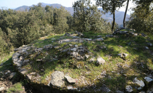
Of all these pathways, Via dei Monti would become the most used and the most important during medieval times. Starting from the parish of Montale, it would pass Mount Piano, continue towards Mount Castellano to finally reach Val di Vara while passing through Cassana. From Bardellone one could go to Cassana by following a different path, using one of the mule tracks that ran along the creek. This area has been relevant from ancient times, as can be attested by the numerous tracks and archaelogical evidence, as in the case of the nearby village of Campodonia, where a 3rd century Ligurian tomb was found, in Albareto near the valley of Pignone and in Mount Delle Forche, a small hill near the sea, where archaelogist found a hut dating back to the late Bronze age.
The castle of Celasco was built on a preexisting Ligurian hill-fort in Mount Bardellone, further reinforcing the strategical relevance of this area. It was owned by the homonymous family that from the 10th to the 13th century clashed its fief of Valle with the one of the Da Passano family, who controlled Borgo, the first core of modern Levanto.


