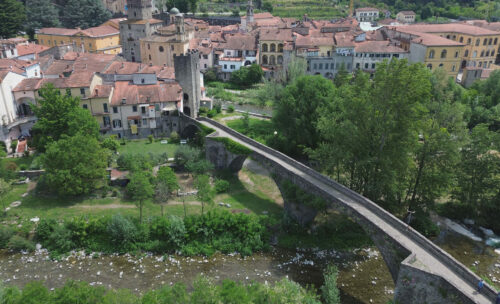
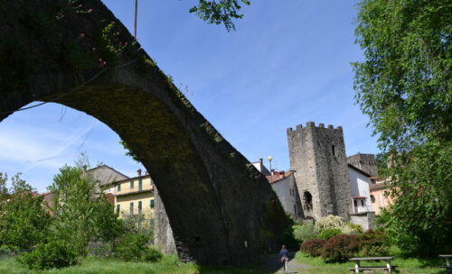
The medieval citadel of Piagnaro was built at the confluence of the Verde torrent and the Magra river when the various villages born around the hill were expanding until they joined each other, for the control of the important north-south road of Monte Bardone then known as Via Francigena.
The concession as a free municipality in 1229 prompted the Pontremolesi to seek connections towards the sea thanks to the alliance with the Republic of Genoa and the birth in the XIII century of the Via dei Monti or de Pontremolo, which connected the port channel of Levanto to the Lunigiana
The original route of the medieval path probably started from the church of San Pietro de Confluentu, at the southern end of Pontremoli, went up to the Pieve di Saliceto and after passing the Teglia valley it reached Bosco di Rossano and from here the ancient ridge route Via Regia, now known as Alta Via dei Monti Liguri.
Afterwards, following the continuous disputes with the Malaspina di Mulazzo marquises, the Municipality of Pontremoli decided to modify the route which, through the Imoborgo gate and the Casotto bridge, climbed to Cavezzana Gordana and Torrano to reach Pradalinara, the Rossano valley, Piagna or Castoglio, Chiesa and Valle. From here it continued up to the Via Regia resuming the original route that descended into Val di Vara.
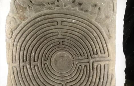
The church of San Pietro de Confluentu, destroyed in 1944 and rebuilt after the Second World War, depended on the Benedictine abbey of Brugnato erected as a Diocese in 1133. Between the fourteenth and fifteenth centuries the bishopric was transferred to Pontremoli near the church of San Pietro. The only testimony, a symbolic representation of the medieval journey, is a 12th century sandstone slab depicting a labyrinth.
San Pietro is the arrival and departure point of the Via dei Monti or de Pontremolo with a section in common with the Via Francigena up to the Imoborgo gate built by the noble Seratti family.


